Spratly Islands
Unseenlabs Reveals Hidden Activities: Case of a Chinese Coast Guard Vessel in the area
Markets
Fisheries, Governments, Trade Intelligence
Location
South China Sea
Date
Sep 30, 2025

RF intelligence cuts through contested waters, making China’s presence more visible.
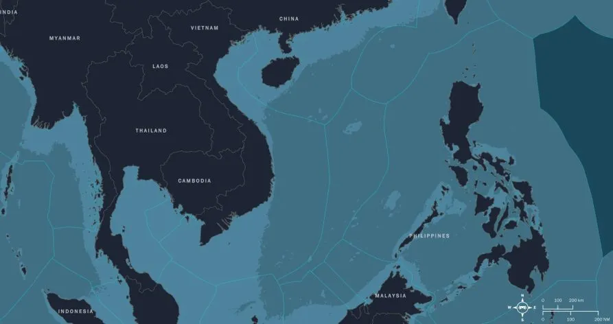
In the West Philippine Sea—the portion of the South China Sea adjacent to the Philippines and within the Philippines’ Exclusive Economic Zone (EEZ)—Chinese Coast Guard (CCG) units and maritime militia maintain a persistent posture around disputed features near the Spratly Islands and Scarborough Shoal. Merchant shipping intersects with industrial and small-scale fishing, while law-enforcement and naval patrols operate in tight proximity. In this crowded theater, cooperative signals can be inconsistent, and visibility is frequently shaped by gray-zone tactics rather than transparency.
To cut through that uncertainty, Unseenlabs observed the same area of interest twice, several months apart, using the same space-based RF methods to create comparable views over time and distinguish routine movement from behavior of interest. Within this period, we also followed a prominent CCG Guard vessel operating not far from the Spratlys; when its AIS went silent, our space-based RF intelligence and fingerprinting maintained continuity and kept the track alive.

Why this sea is so sensitive and strategic
The West Philippine Sea is part of the wider South China Sea, a semi-enclosed body of water bordered by the People’s Republic of China (PRC), Taiwan, the Philippines, Malaysia, Brunei, Indonesia, and Vietnam. Its importance cannot be overstated. One-third of global maritime commerce flows through these waters, while fisheries and coral reefs sustain millions of livelihoods. Yet this same sea is fractured by overlapping sovereignty claims, strategic rivalries, and ecological decline. Even its name reflects these disputes: South China Sea, West Philippine Sea, East Sea, and North Natuna Sea are used by different states to assert their narratives of ownership and control. The PRC anchors its expansive claim to the nine-dash line, which sweeps across the EEZs of its neighbors.
Despite the 2016 ruling by the Permanent Court of Arbitration rejecting these claims as incompatible with international law, Beijing has accelerated its consolidation of power on the water. Artificial islands at Mischief Reef, Fiery Cross Reef, and Subi Reef are now bristling with runways, radar arrays, missile systems, and combat aircraft. This militarization has altered the balance of power in the region and given the PRC fixed outposts to project authority deep into disputed waters.
At sea, the PRC deploys its coast guard and maritime militia as instruments of law enforcement and sovereignty. Their methods include swarming foreign vessels, using water cannons, or ramming ships—actions designed to deter rivals without crossing into open conflict. These gray-zone tactics exploit ambiguity, applying constant pressure without triggering a formal military response. For the Philippines, whose EEZ lies at the heart of these tensions, the challenge is urgent: how to safeguard sovereignty and livelihoods without being drawn into escalation.
The stakes extend beyond Manila. The U.S.–Philippines alliance has been revitalized through the Enhanced Defense Cooperation Agreement, which has expanded U.S. access to Philippine bases. American deployments now include systems like Tomahawk and Typhon missiles, signaling Washington’s intent to deter Beijing and reassure regional allies. In parallel, defense spending is rising across the Indo-Pacific, with Japan, South Korea, and Australia expanding their military reach.
Some analysts warn that the Philippines risks becoming the “Ukraine of Asia”: a frontline state where a smaller power’s sovereignty challenge could escalate into a broader confrontation between major powers. While that outcome is not inevitable, the risks of miscalculation are real. Escalation would not only threaten maritime security but could trigger humanitarian crises, displacement, and severe disruption of global trade routes.
In this contested and unstable environment, independent visibility is no longer optional. It is the foundation for resilience, deterrence, and informed decision-making at sea.