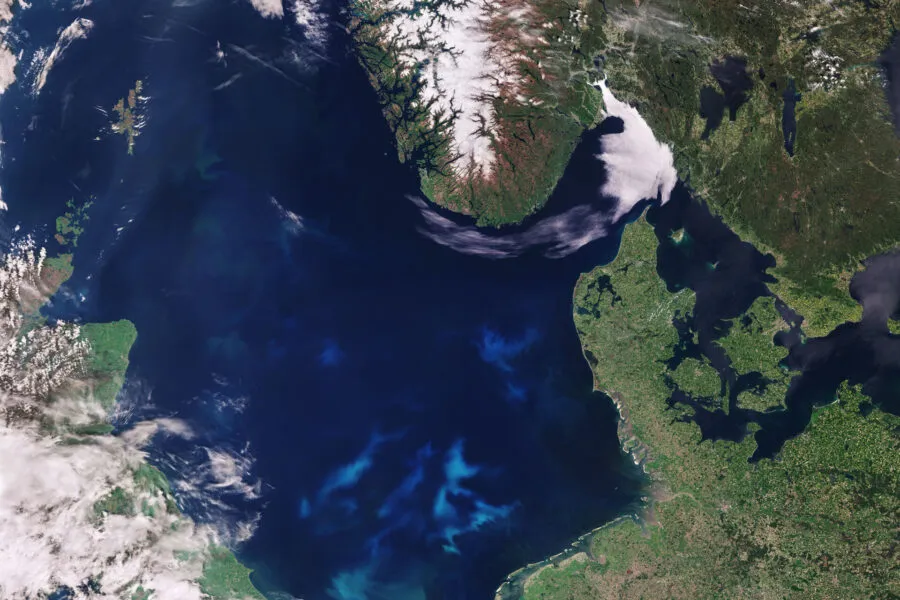
North Sea
Unseenlabs Ensures the Security of Offshore Facilities
Market
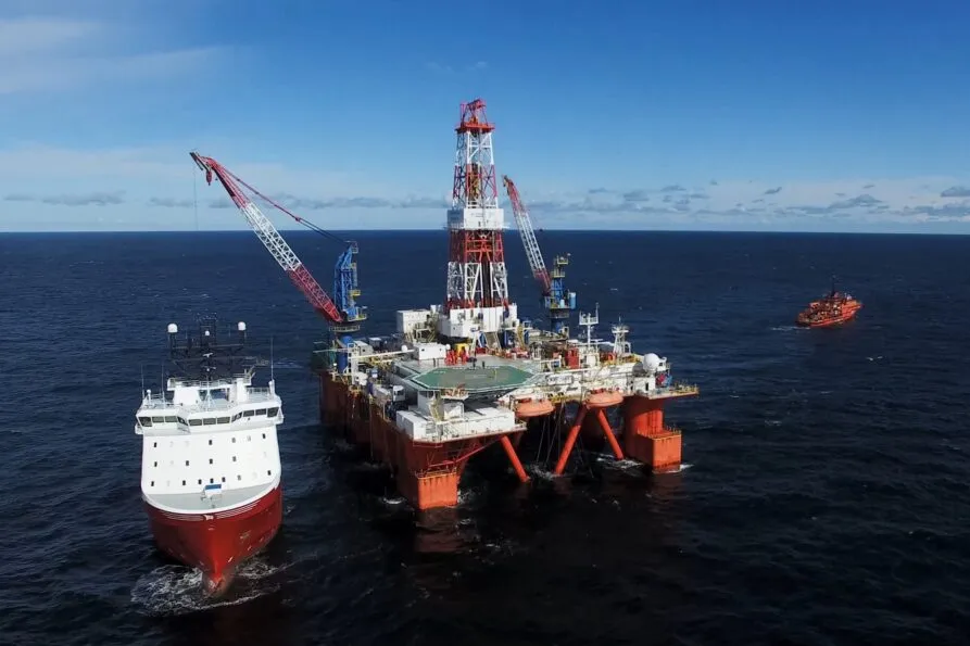
Offshore facilities
Location
North Sea
Date
Jul 18, 2024
In today's interconnected world, the safety and security of our maritime infrastructure are paramount to sustaining global connectivity and energy supply.
The North Sea is an important maritime hub, for global and regional commerce, energy production and renewable energy initiatives. However, this region's significance also makes it a target for illegal activities that threaten its critical infrastructure. This densely packed area hosts not only strategic shipping routes but also extensive networks of subsea cables and wind farms essential for Europe's energy and communication needs of Northern Europe countries. The North Sea is also home to numerous marine protected areas, which are vital for preserving biodiversity.

On February 12 & 13, 2024, Unseenlabs conducted RF data collections over two days in the North Sea, near and off the coast of Scotland, successfully detecting and tracking multiple dark vessels— ships that had turned off their AIS transponder or were not equipped with one.
This effort underscores Unseenlabs' dedication to protecting the North Sea's vital facilities, ensuring the security and resilience of its subsea cables and offshore energy facilities. Our advanced satellite technology helps secure one of the key hubs of Europe's maritime operations.
Monitoring and Protecting Critical Infrastructure
Cumulated coverages of 2 data collections
Despite stringent regulations, the North Sea faces persistent issues with illegal maritime activities. Dark vessels, which disable their AIS transponders to avoid detection, can pose significant threats to subsea cables and offshore windfarms. These unauthorized activities can lead to accidental damage or deliberate sabotage, disrupting critical infrastructure
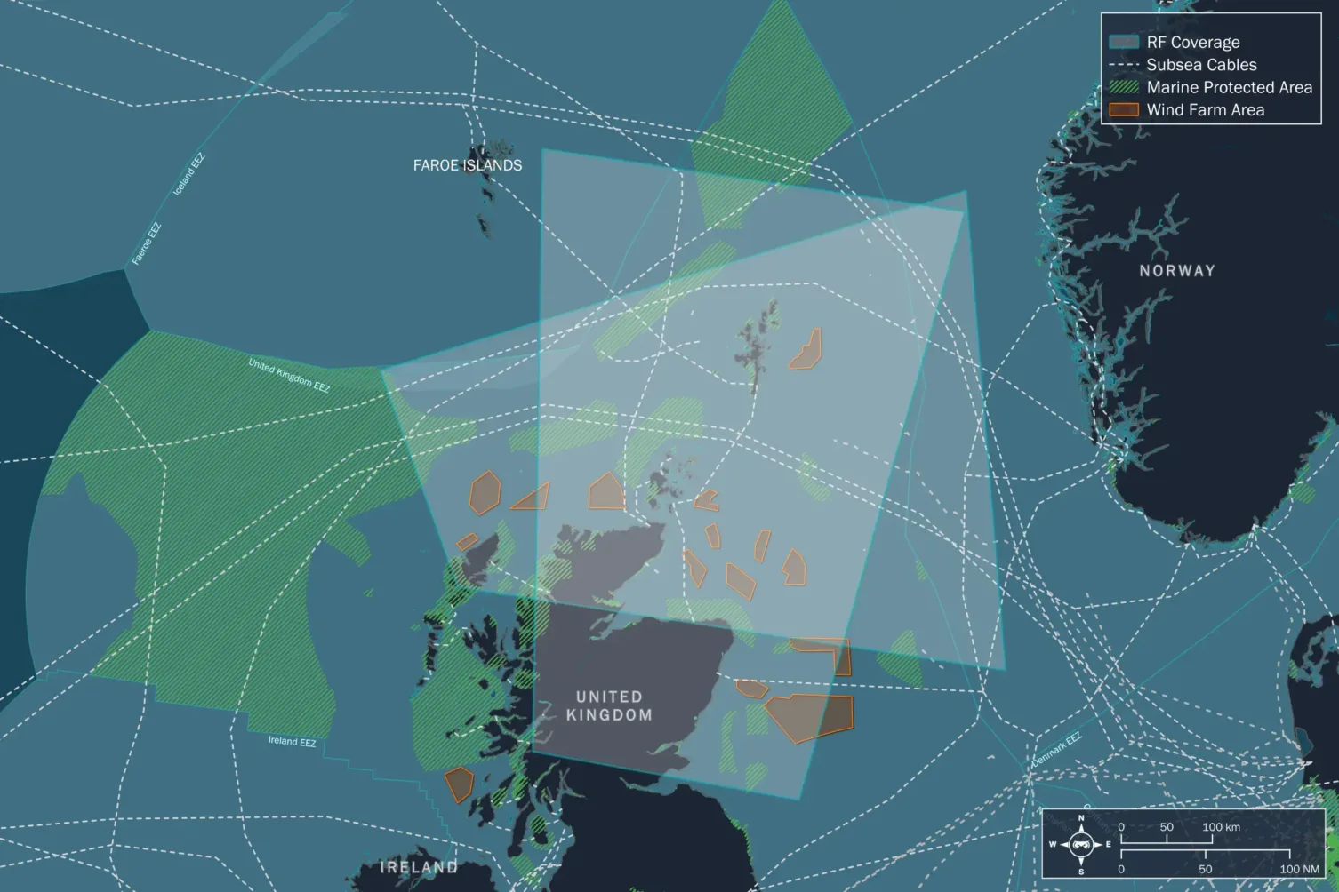
637 RF positions detected and geolocated
Unseenlabs' RF data collections in February 2024, conducted over two days, covered a cumulative area of 600,000 km², detecting 637 RF positions and geolocating 43 positions.

7% of undeclared positions
Importantly, 7% of the emitters detected in the area were RF only, making them invisible to traditional AIS monitoring systems. Multiple RF-only ships (dark vessels) were detected near strategic windfarms and subsea cables, including the Atlantic Crossing-1, the Leif Erikson, and the BT Highlands and Islands Submarine Cable System[3], while navigating in UK waters (the UK EEZ).