Business & Trade Intelligence
New Benchmark in Data for Business & Trade Intelligence
Powerful, data-driven solutions enable businesses to analyze market dynamics, track global trade flows, and make informed strategic decisions. RF data is becoming essential, offering comprehensive insights into maritime activities, including the detection of dark ships. This unmatched access to intelligence empowers Business & Trade Intelligence companies to identify new opportunities, support risk mitigation, and optimize operations for greater efficiency.


Navigating Business & Trade Intelligence Challenges
Business and Trade Intelligence faces increasing challenges in an ever-evolving global market. Companies must manage geopolitical risks, trade disruptions, and supply chain vulnerabilities while adapting to shifting regulations and security concerns. Extended maritime routes add another layer of complexity, significantly impacting fuel consumption, which accounts for approximately 30% of shipping companies' operational expenses. Having a comprehensive view of maritime activity, including dark ship detection, is essential—not just for controlling costs but for navigating an increasingly volatile trade landscape with confidence.
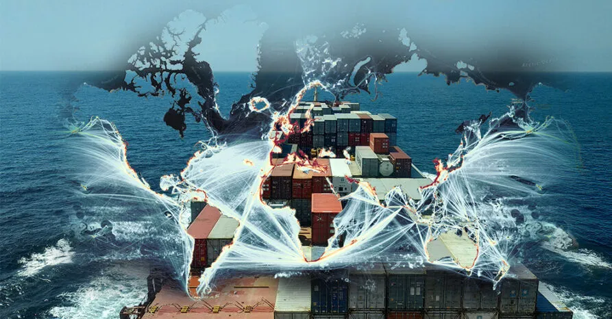
12 Billion tons of goods transported by sea every year
Strengthening Maritime Trade with RF Data

UNCOVER Risks and Inconsistencies
detect dark vessels that evade identification and tracking, ensure compliance with international regulations, and protect legitimate trade operations.

MONITOR Global Movements
track vessel activity and trade flows to respond to threats, enhance security, and optimize supply chains.
PRODUCE Actionable Intelligence
deliver precise, reliable geolocation and activity data for informed decision-making.
Unlocking Data-Driven Insights
Unseenlabs’ RF solutions give Trade and Business Intelligence professionals a powerful advantage, enabling them to collect and analyze diverse data sources with greater accuracy and efficiency. Our technology delivers broad coverage in a single pass, seamlessly integrating with Earth Observation tools such as optical imagery, SAR, and hyperspectral sensors. Designed for maximum adaptability, our lightweight RF data integrates effortlessly into any geospatial analytics platform, streamlining analysis and enhancing operational efficiency.

Scalable, Precise Data
-
Lightweight, Standardized Files
(e.g., <1MB for easy integration and fast processing) -
Seamlessly compatible with any GIS system
Persistent Global Coverage
-
24/7, all-weather coverage
-
Wide-area scanning in a single pass
UNSEENLABS SECURES OFFSHORE FACILITIES IN THE NORTH SEA
The North Sea, a critical hub for offshore energy and communications, faces increasing threats from undetected dark vessels. In February 2024, Unseenlabs' RF data collections near Scotland identified multiple dark vessels posing risks to offshore infrastructure, including wind farms and subsea cables. These findings underscore the urgent need for robust monitoring solutions to protect vital assets. Unseenlabs’ advanced satellite technology delivers daily intelligence, strengthening security for the offshore industry and ensuring the resilience of Europe’s energy and communication networks. By making the invisible visible, Unseenlabs empowers offshore operators to safeguard investments, mitigate risks, and maintain uninterrupted operations in this critical region.